California's coastal cliffs are eroding at sharply uneven rates, and La Jolla residents can now check their own stretch of shoreline for free.
Researchers at Scripps Institution of Oceanography published a statewide cliff erosion study on Friday, Oct. 23, comparing high-resolution aerial lidar scans from 2016 and 2023. They found that 65% of the state's coastal cliffs showed measurable change over that seven-year window, according to the Scripps press release.
The worst erosion hotspots were concentrated in Central and Northern California. At the Lost Coast Headlands in Humboldt County, a single landslide involved more than 1.4 million cubic yards of rock and soil. Some cliff tops there retreated more than 70 feet per year.
"70 feet per year is a lot, over the seven-year study period that is more than the length of a football field," said Adam Young, a coastal geomorphologist at Scripps and principal investigator of the project.
Retreat rates exceeding 10 feet per year were also recorded at Redwood National Park, Point Reyes National Seashore, Big Sur, Vandenberg Space Force Base, El Capitan State Beach and Palos Verdes, among other locations.
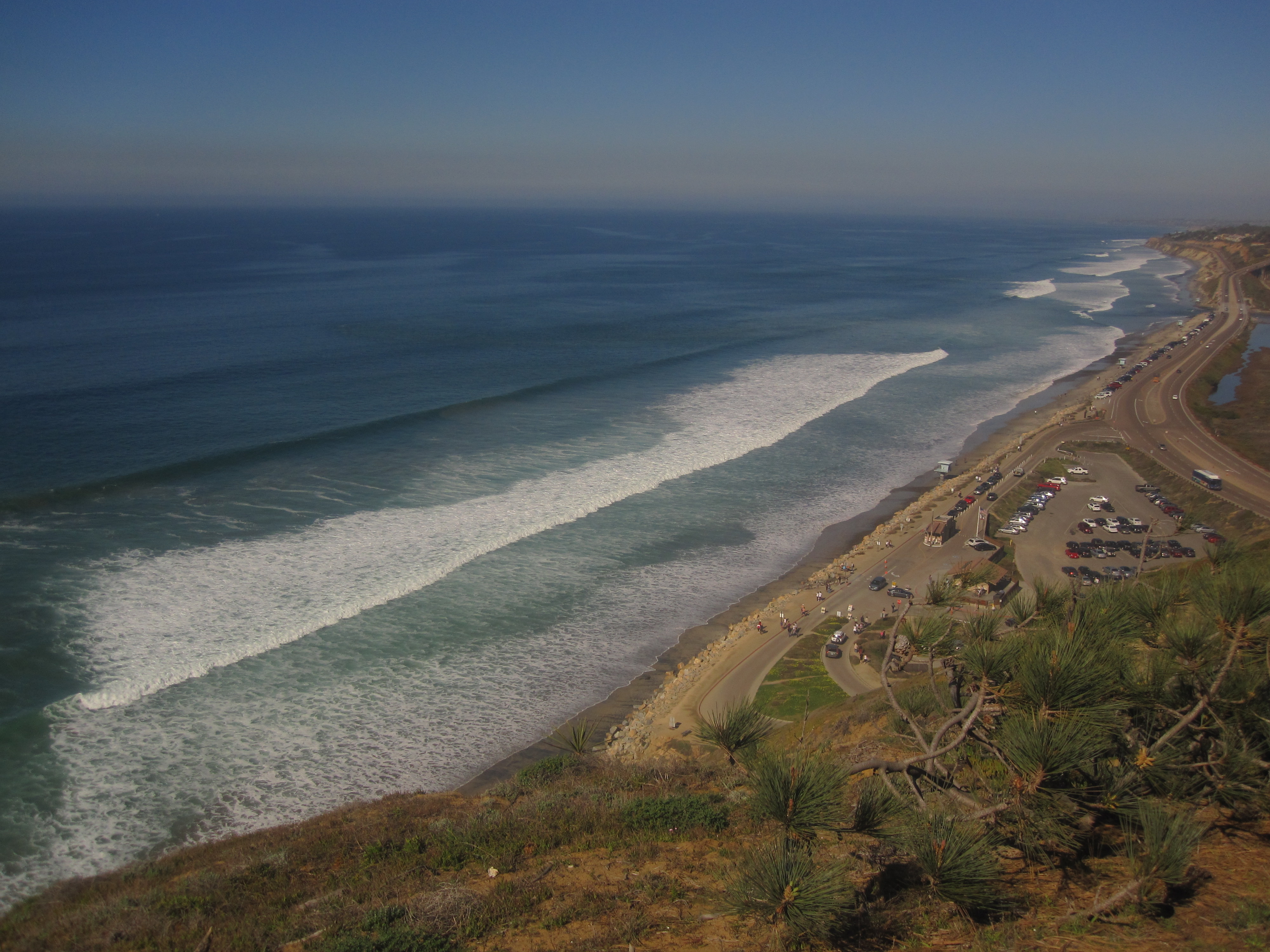
Roughly 70% of California's coast is made up of cliffs, according to Scripps. The erosion threatens highways, railways, homes, parklands and public beach access points. It also poses a direct safety risk to beachgoers.
New public tool
Alongside the study, Scripps launched the California Coastal Cliff Erosion Viewer, a free website that displays average cliff retreat rates at scales ranging from 50 kilometers down to 1 kilometer. Young and his colleagues said they plan to update the viewer as new data becomes available.
The study was published in the International Journal of Applied Earth Observation and Geoinformation. Lead author Danghan Xie, now an assistant professor at the University of Maryland, conducted the research while a postdoctoral scholar at Scripps. Xie said in the Scripps release that the cliffs are not stable and that fatal cliff landslides remain unpredictable and a significant hazard to coastal communities.
El Niño timing
The findings arrive as California braces for what Scripps describes as a very strong El Niño expected to threaten the coastline this winter. Fox 5 San Diego described the approaching season as "potentially historic."
In an August 2026 Scripps article, Young described El Niño as a "triple threat" for California's coast, noting that increased rainfall triggers landslides, powerful waves accelerate erosion of cliffs and bluffs, and elevated sea levels compound the damage.
The Scripps monitoring program is collecting lidar scans twice a year statewide, according to Young. The team plans to survey the entire California coastline in fall 2026 and spring 2027 to measure changes from the El Niño.
Funding for the project ends in 2027.
Senate President pro Tempore Emeritus Toni Atkins led the effort to secure state funding, with support from the California State Legislature, according to Scripps.
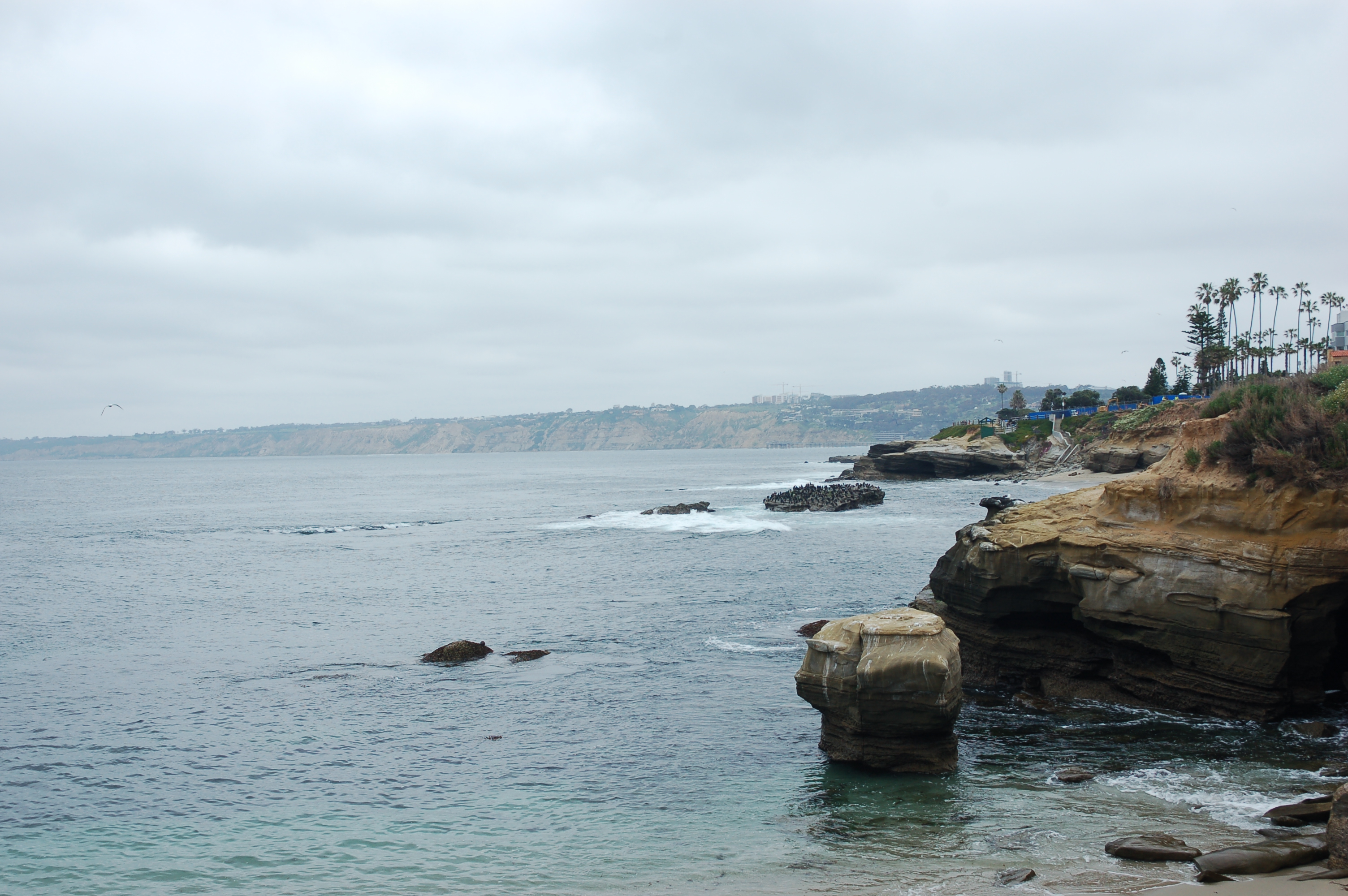
What La Jolla residents should know
The study does not name La Jolla as a specific erosion hotspot, and the available research does not include a retreat rate for local bluffs. The Cliff Erosion Viewer, however, covers the entire California coast, and La Jolla residents can look up their own neighborhood at siocpg.ucsd.edu/data-products/ca-cliff-viewer.