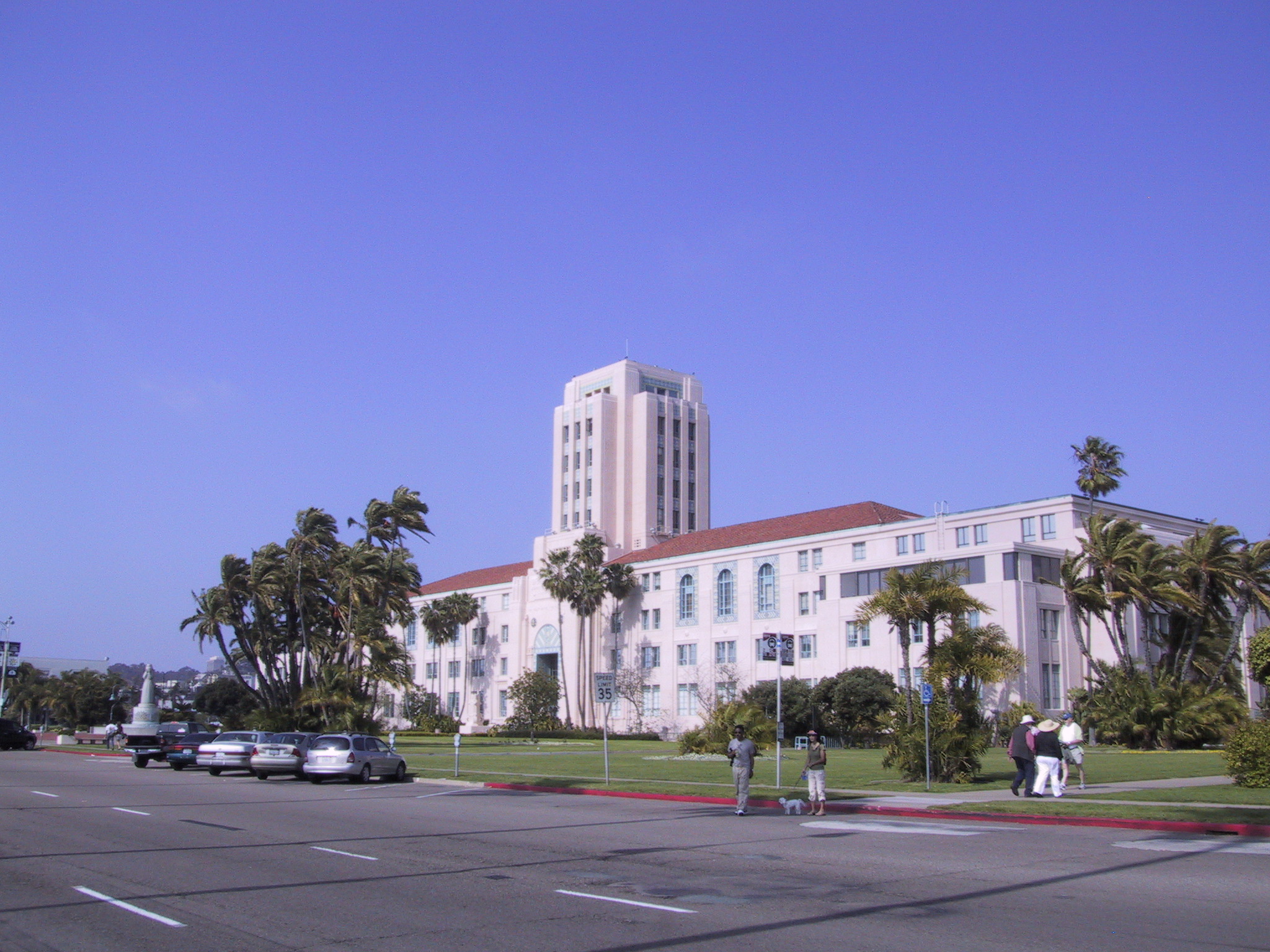
Flood damage costs California an estimated $8 billion a year, according to the California Earthquake Authority, and La Jolla's beachfront faces growing flood exposure as a super El Niño builds offshore.
A report released Wednesday, Sept. 9, by the California Ocean Science Trust (OST) in partnership with Scripps Institution of Oceanography, lays out eight recommendations for overhauling how catastrophe models price flood risk for coastal counties. The models feed into what homeowners pay for insurance.
Scripps research economists Tom Corringham and Denali Pinto co-authored the report. Among the recommendations: better representation of atmospheric rivers in catastrophe models, greater access to federal flood insurance data and clearer disclosure of what premium savings homeowners could gain through risk-reduction measures.
"We offer recommendations for filling critical data and policy gaps to link mitigation efforts with financial incentives, helping insurers and California's communities realize the economic benefits of investing in resilience," Corringham said in the release.
California Insurance Commissioner Ricardo Lara endorsed the report. His department's climate experts participated in the collaboration alongside OST and UC San Diego researchers. Nine insurers, including six of California's 10 largest home insurance groups, have committed to expand coverage under Lara's Sustainable Insurance Strategy, Insurance Journal reported Thursday, Sept. 10.
Under that strategy, the California Department of Insurance (CDI) for the first time allowed forward-looking catastrophe models to inform rate filings. The first wildfire models were approved under the framework in 2025. The new Scripps-OST report argues the same approach should extend to flood risk.
A 2011 U.S. Geological Survey (USGS) study estimated a catastrophic 1-in-1,000-year flood could cause roughly $725 billion in property damage and business losses statewide. The report's authors put that figure at more than $1 trillion in current dollars.
The National Oceanic and Atmospheric Administration (NOAA) warns that a strengthening super El Niño this winter could bring more frequent and deeper coastal flooding, combined with long-term sea-level rise. Strong El Niño conditions can raise sea level along the California coast by 6 to 13 inches, according to Scripps coastal research.
That threat is already measurable in La Jolla. The Scripps Shore Stations Program recorded 42 days of record-high ocean temperatures at the Scripps Pier station by Aug. 16. Scripps plans to survey the entire California coastline in fall 2026 and spring 2027 to quantify erosion from the El Niño.
"We are on track to see a lot more erosion and loss of sand on our beaches," Corringham told Fox 5 San Diego on Aug. 26, weeks before the report's release.
The report also calls for quantifying statewide flood insurance protection gaps, building comprehensive data sets of California's flood-defense structures and creating a California Public Flood Risk Model. A technical steering committee that included Brett Sanders of UC Irvine, Michael Beck of UC Santa Cruz and Tim Farrell of the National Association of Insurance Commissioners guided the work.
Liz Whiteman, executive director of OST, said the report offers state leaders a path to make sure insurance pricing reflects the protective value of flood defenses, whether natural or engineered.
The recommendations are advisory. No legislative hearing or regulatory deadline has been scheduled.