The National Weather Service (NWS) issued a Tropical Storm Watch for San Diego County on Friday, Oct. 9. Tropical Storm Rachel could bring dangerous surf, coastal flooding and sustained winds above 39 mph to La Jolla's shoreline as early as Sunday, Oct. 11.
It is only the second time a tropical-storm-level alert has covered California, the San Francisco Chronicle reported. San Diego's last was a tropical storm warning ahead of Hilary in August 2023.
As of noon Friday, Rachel was about 800 miles southwest of San Diego with maximum sustained winds of 50 mph, according to KTLA. The storm was downgraded from a Category 1 hurricane Thursday, Oct. 8.
The watch runs through Tuesday, Oct. 13. The NWS expects the greatest impacts Sunday, when the storm is forecast to make landfall near the U.S.-Mexico border, as FOX 5 San Diego reported. As we reported Oct. 7, Rachel was still a hurricane at that point.
Surf and tide threat
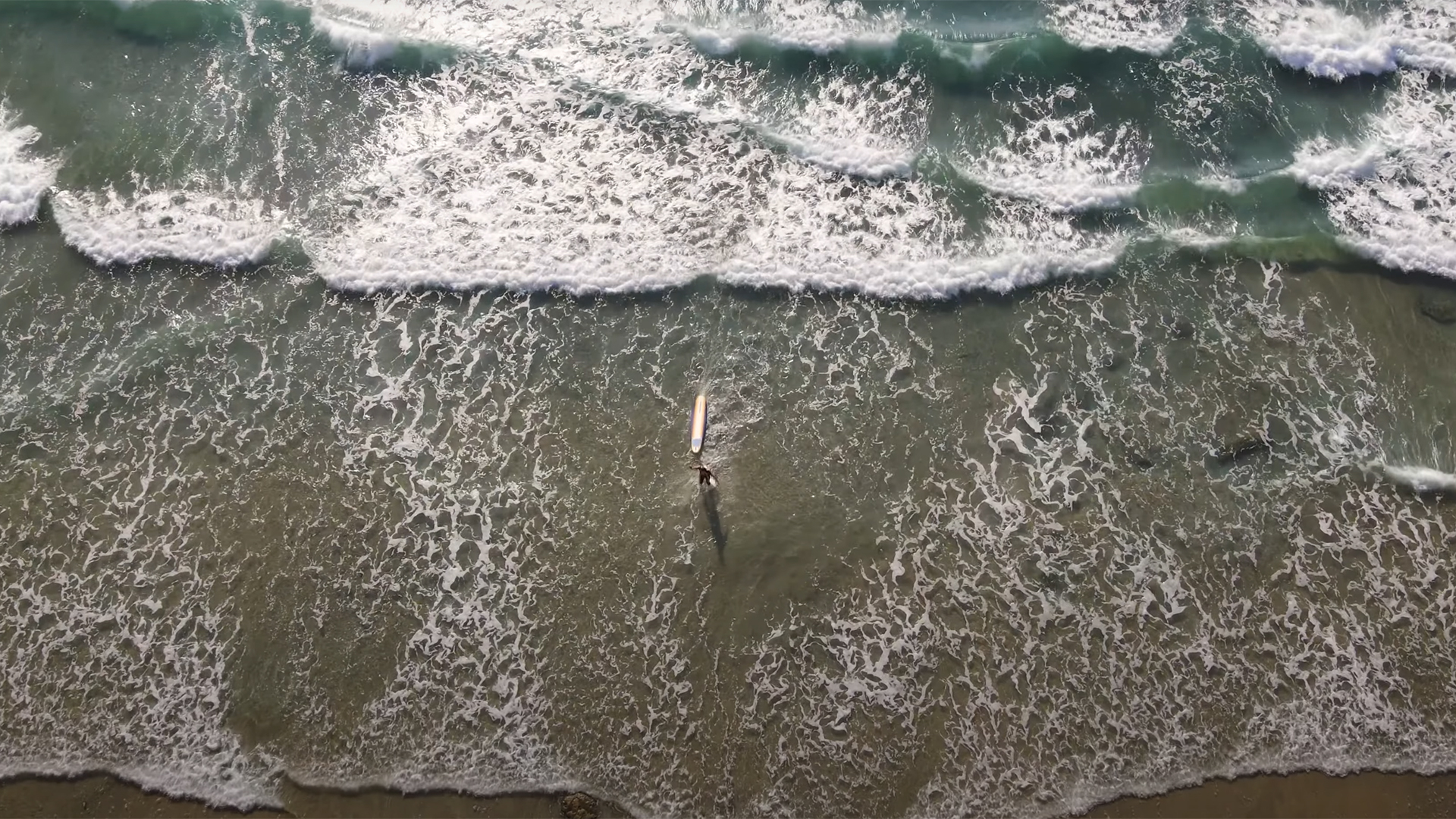
Surf is forecast to reach 5 to 7 feet Sunday, with localized sets up to 9 feet. NWS forecaster Miguel Miller told the San Diego Union-Tribune that Rachel will produce 6- to 10-foot waves, especially at southwest-facing beaches.
La Jolla's tide gauge is forecast to come close to matching its all-time tidal record Sunday morning, according to the Chronicle. NOAA's storm surge model projects Sunday morning's high tide in San Diego Bay at about 8.2 feet, which would match the bay's all-time record set in November 2015.
A south swell will combine with wind-driven waves and morning high tides approaching 7 feet, increasing the threat of beach erosion and coastal flooding, the NWS said. The agency stated Friday that confidence in impactful coastal flooding is high.
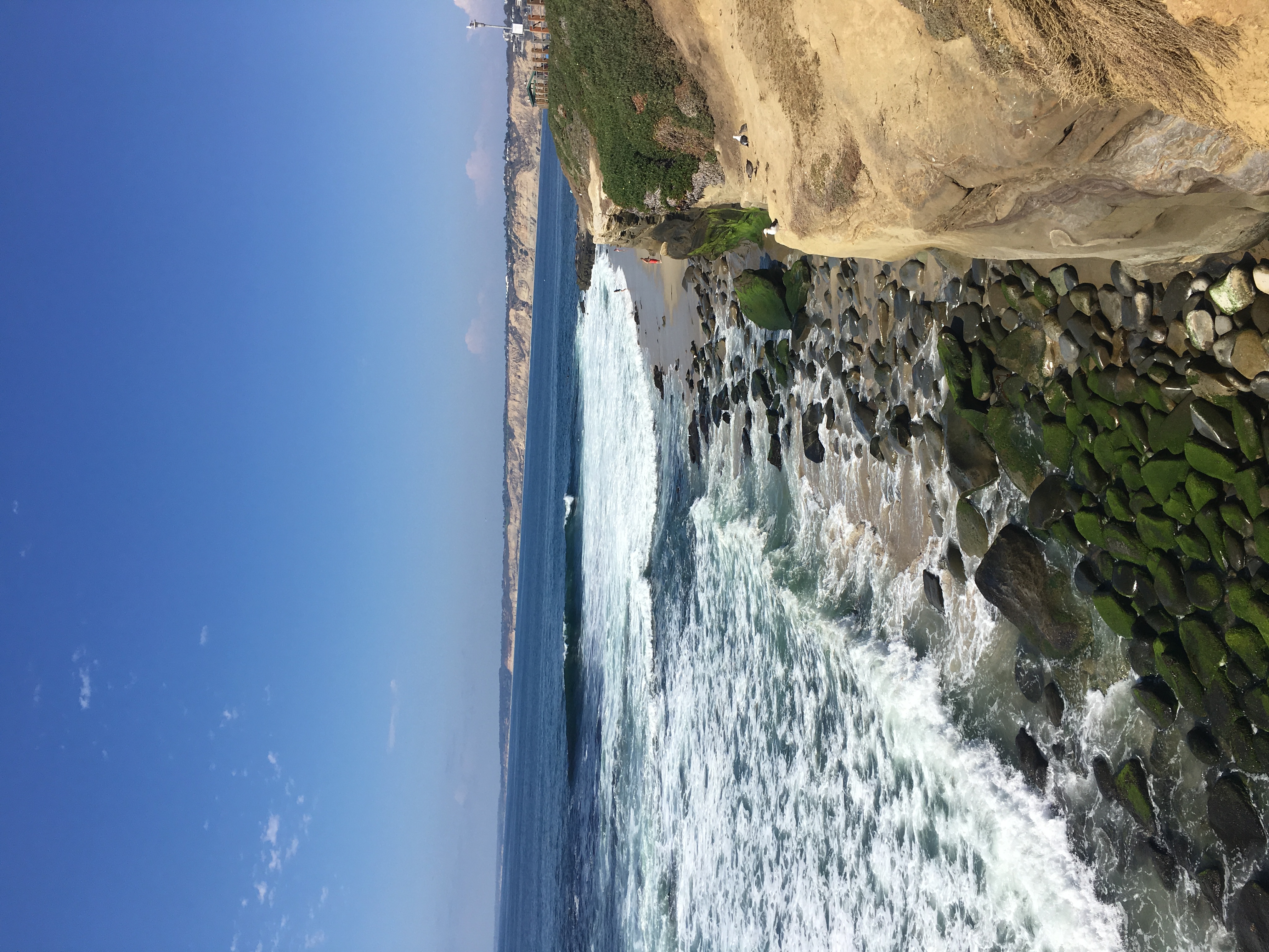
San Diego State University geology professor Pat Abbott told FOX 5 San Diego that the coast is already under stress. "Sea cliff collapses are a common thing in San Diego, but they are happening with far more frequency over the last few years," Abbott said.
Wind, rain and power outage risk
Sustained winds of at least 39 mph are possible, with southern San Diego County facing the greatest chance. Broken tree limbs, downed trees, scattered power outages and debris blocking roadways are all potential impacts, according to the NWS.
The most likely rainfall forecast calls for a quarter-inch to 1 inch along the coast, with 1 to 2 inches in the mountains. A higher-end scenario projects 1 to 2 inches at the coast and 2 to 4 inches in the mountains. San Diego has not seen significant rain since May.
A northward shift in the storm's track could push stronger winds and heavier rain across more of the county.
How to prepare
The City of San Diego said in a Friday press release that rain is expected Saturday, Oct. 10, through Tuesday, Oct. 13. Road closures are anticipated in the Midway area at Frontage Road and Pacific Coast Highway.
Sandbags are available at 11 city recreation centers. In District 1, which includes La Jolla, residents can pick up to 10 empty sandbags at Pacific Beach Recreation Center, 1405 Diamond St., with proof of residency.
City Stormwater Department Director Todd Snyder said in the press release that crews are preparing the stormwater system but that community preparedness is just as critical. The city recommends clearing debris from storm drains, keeping trash bins away from curbs and avoiding floodwaters.
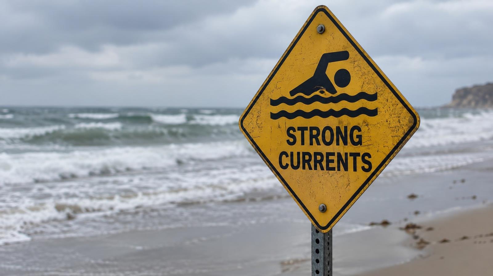
Council President Joe LaCava, whose District 1 includes La Jolla, said Friday on X that the storm is expected to bring flash and urban flooding risk along with dangerous rip currents.
Residents can report storm-related issues using the city's Get It Done app or by calling 619-527-7500.